
-
Eagle’s Nest Trail
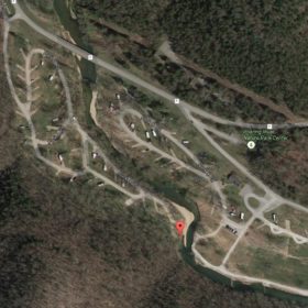
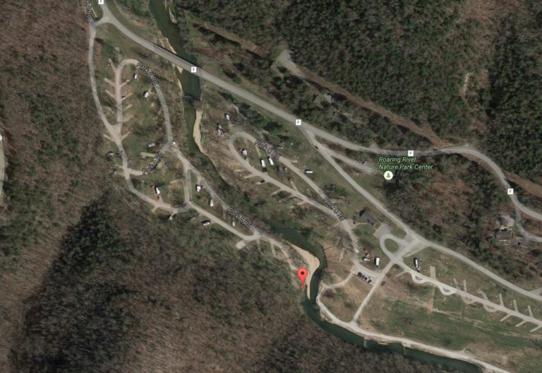
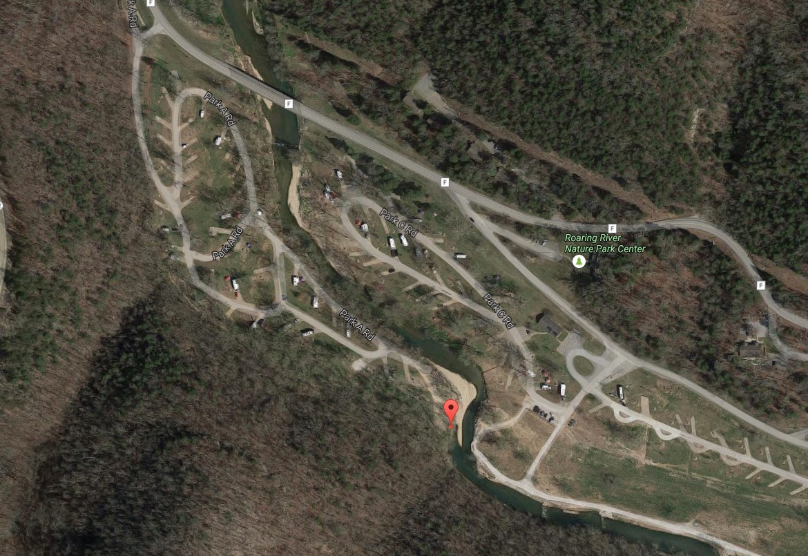
Eagle’s Nest Trail runs from campground 2, near campsite 94, runs for 2.75 miles with good climbs and scenery. The gps coordinates for the trailhead are 36.57824066, -93.83196969 if you are interested!
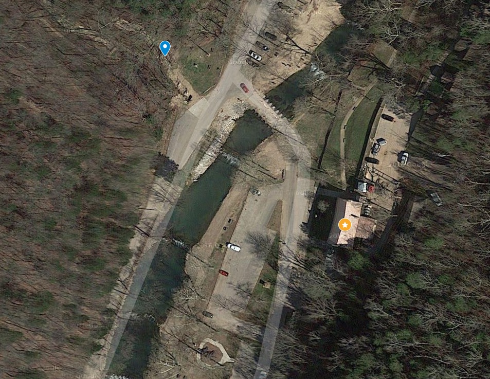
The trailhead is here at the red pin:
We haven’t hiked the trail yet, but it’s coming September 2016. According to everything we’ve read, it’s a fun hike, but it goes up to one of the highest points in the park. Thus, the Missouri State Park ranks it “Rugged,” so be prepared. They estimate it will take 2 hours and 45 minutes to hike. It’s blazed with green markers.
The trail closes at 3pm in the winter, as it appears that that’s the time of year the Eagle’s roost.
You can check out the trail map here.
-
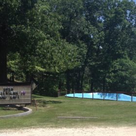
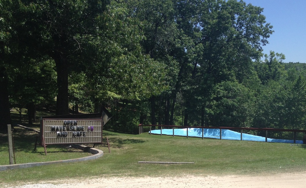
Waterslide Near Roaring River
It can get hot in the summer, but besides splashing in the river, or finding one of the nearby pools, the waterslide might give you or your kids a break from the heat.
The waterslide is just up Highway 112 toward Cassville, from the state park.
It’s an older fiberglass model, and lots of fun according to the kids. They give you a mat to slide down on, so you get some protection from the surface of the slide. As of the summer of 2016, the price is $8 an hour per rider. There’s a patio on the back, so you can watch your kids go up and down the slide. And they have a cafe that serves all kinds of things, so you can relax in the shade if you aren’t riding.
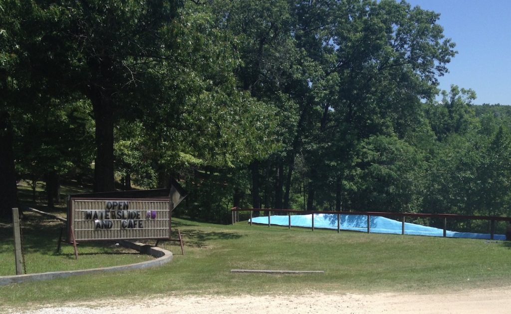
Waterslide at Roaring River
Give it a try. This video shows what it’s like to give it a whirl:
-
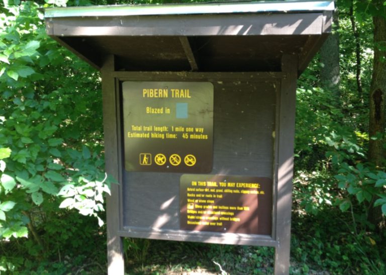
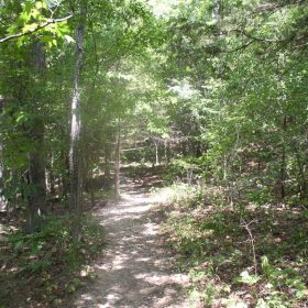
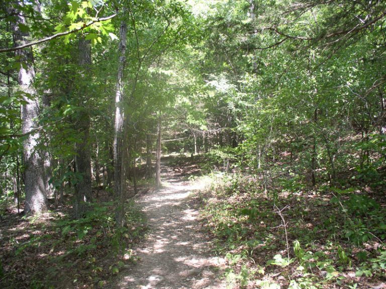
Pibern Trail
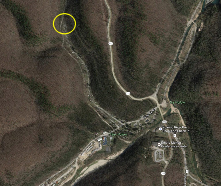
Pibern Trail starts from the end (North) of campground 1, to the left of the restroom.
You can find it here:
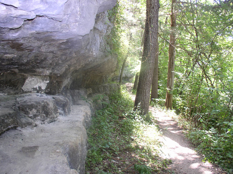
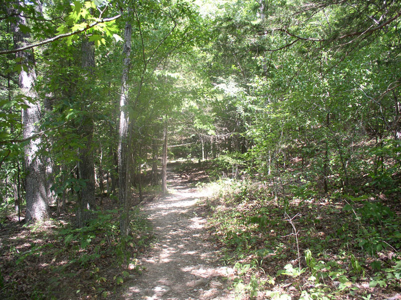
It runs for 1 mile one way, through some beautiful Ozark bluffs. It does have a couple of steep parts, up some bluffs. The trail is well-maintained, and pretty easy to follow. It’s marked with blue markers. According to the State Park, this trail was developed in the ’30s when the Civilian Conservation Corps were taking resources to use for constructing the park. It’s rated moderate, so make sure you are up to the task before you get started, and bring water for the trek.
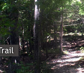
It took us about 40 minutes to get from the trailhead to the end of the trail that pops out near the Paradise Valley Resort. (By the way, the Paradise Valley Resort has an excellent cafe on site. Get an ice cream cone or pizza!) We were going at a moderate pace. The trail is nice and shady, with lots of trees, rock formation, and peace. We didn’t see anyone else hiking the trail when we were on it. We did take bottles of water for the trip, and they were needed in the summer heat. We did pack the empty bottles out, by the way. The trail is clean, but we did pick up a few pieces of litter on the way. Since we had drive to the trailhead, it took another 15 minute walk through the campground to get back to the car from the exit point.
Here’s a short video of the trail. The quality isn’t great, but you can get the feel for it.
More trail links below:
River Trail Devil’s Kitchen Trail Pibern Trail Eagle’s Nest Trail Deer Leap Trail Fire Tower Trail Springhouse Trail -
Devil’s Kitchen Hiking Trail
This trail surprised me. I began at the trailhead across the bridge from the old CCC Lodge, and went up. And up. And up. It’s a pretty steep hike in my opinion. It’s a one-and-a-half mile hike, so it will take you some time to complete, and, did I mention it’s up hill from the lodge?

To be more precise, the trail head is here on this map at the blue marker. The orange star is the Old Lodge. You can view a map here.
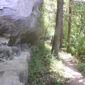
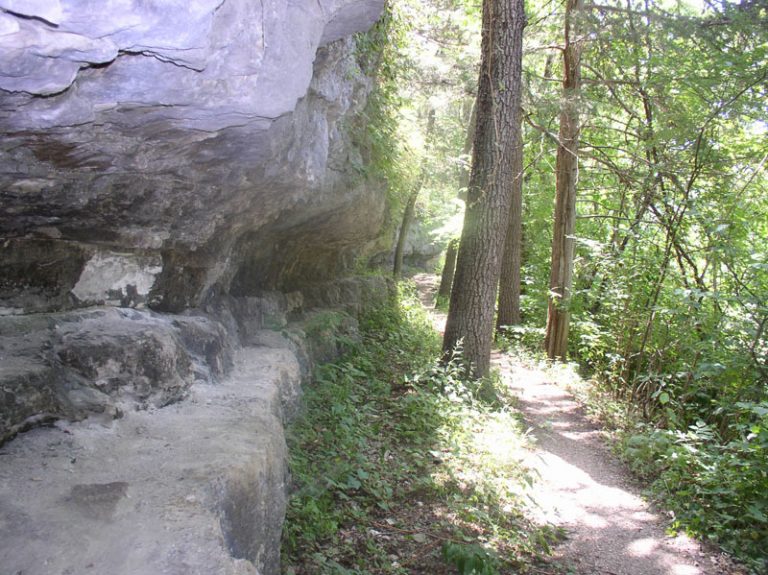
There are some great rock formations up here, including Devil’s Kitchen, which, according to Roaring River State Park information, once “was used as a hideout by Civil War guerrillas.”
That’s fun to tell your kids. My young kids don’t really understand the difference between guerrillas (according to the Webster dictionary, “a person who engages in irregular warfare especially as a member of an independent unit carrying out harassment and sabotage”) from gorillas (large primates).
“Why did gorillas hide out in here, Dad? Were there other monkeys in there? Do you have my iPhone?”
Anyway, Devil’s Kitchen is a nice formation to see, completely enclosed. This picture looks down from the enclosure.

The trail mellows out, going back down later in the hike, so it’s a bit easier on the way out (going from the lodge.) On my most recent hike, a family told me they spotted either a fox or a bobcat on the way, but I didn’t see anything when I went around.
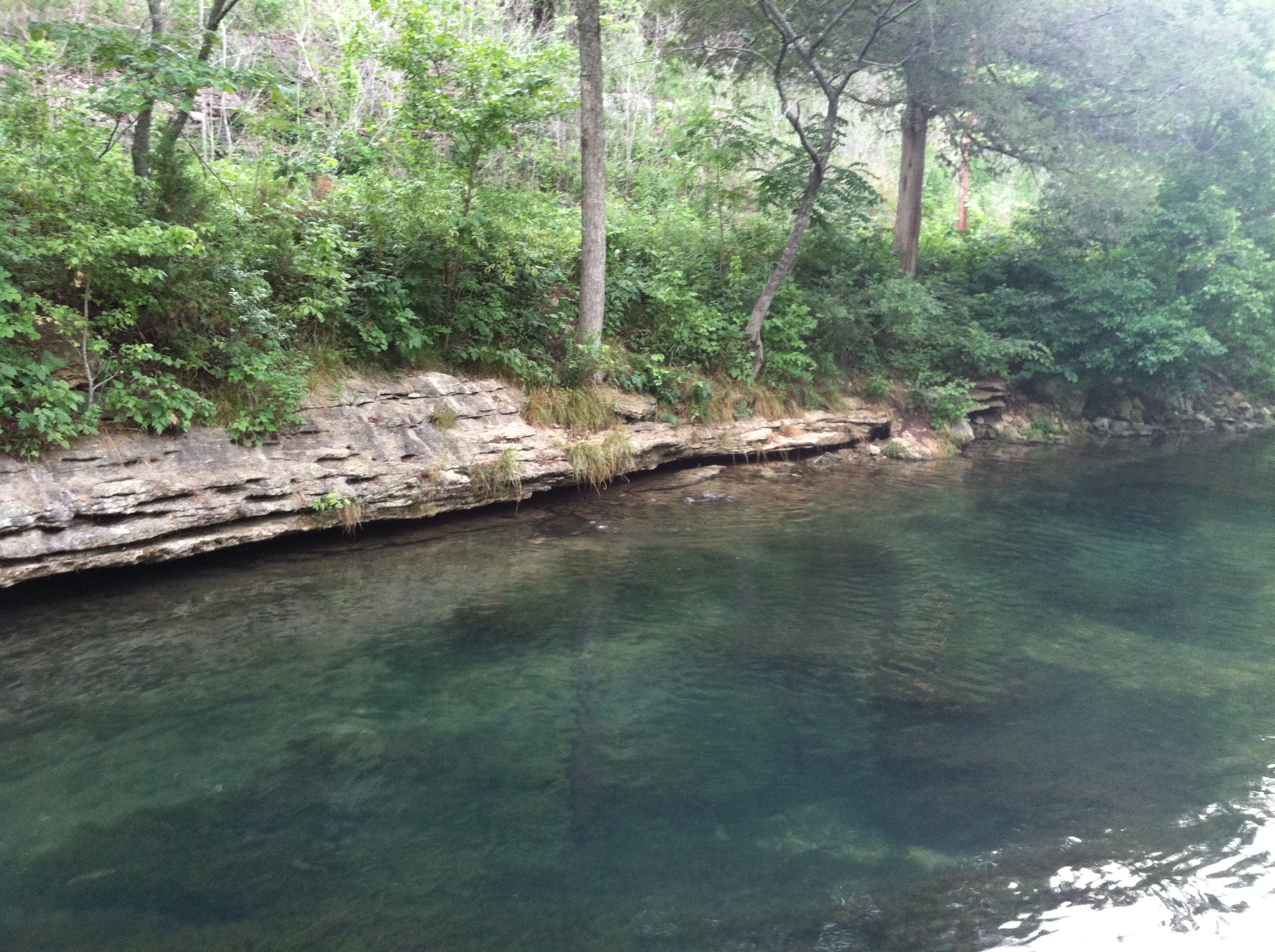
Devil’s Kitchen Hiking Trail Roaring River
This is the trail you see when you are fishing below, and you see people UP in the woods beyond the river. They are navigating the trail and checking out the rock formations.
More trail links below:
River Trail Devil’s Kitchen Trail Pibern Trail Eagle’s Nest Trail Deer Leap Trail Fire Tower Trail Springhouse Trail -
River Trail
The river trail runs, well, along the river. This trail is the second shortest trail at the state park at .7 of a mile. It takes about a half an hour to hike. The trail goes from the old CCC Lodge, past the amphitheater, all the way to campground three. It’s great for older kids who don’t have transportation and want some independence. You will encounter some climbing, the trail is well-maintained, and the distance is fairly short. You do, however, have to cross paved highway F (not a problem if very cautious), to get from the lodge to the campground. Here’s a topo map if you are interested.

If you want to get from point A to point B, the trail is good. For scenery, I’d recommend the Deer Leap Trail or Devil’s Kitchen. Carry lots of water, even for shorter hikes like this one.
More trail links below:River Trail Devil’s Kitchen Trail Pibern Trail Eagle’s Nest Trail Deer Leap Trail Fire Tower Trail Springhouse Trail -
Hiking Roaring River Area
Missouri has great hiking in the Ozarks, and Roaring River State Park contributes to the bounty. Take it slow on these trails, and carry plenty of water, snacks, and your camera! Roaring River State Park has seven trails ranging from 1/2 mile to 3 1/2 miles. The trails are open year-round. Since some of these trails run through a bluff area, ask at the lodge which trail is right for you. For more specific information on each trail, click a link below.
Hiking Roaring River State Park
River Trail Devil’s Kitchen Trail Pibern Trail Eagle’s Nest Trail Deer Leap Trail Fire Tower Trail Springhouse Trail -
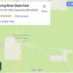
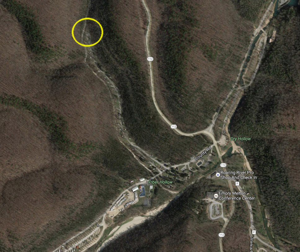
Roaring River Area Map
The Roaring River State Park is just minutes from Cassville, Mo. Click the map for more information.

-
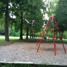
Picnicking Near Roaring River
Picnicking by the River
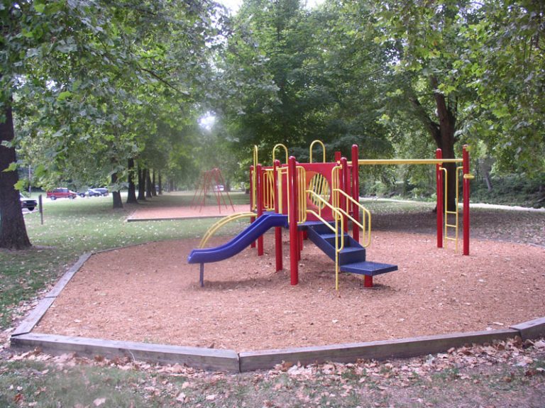
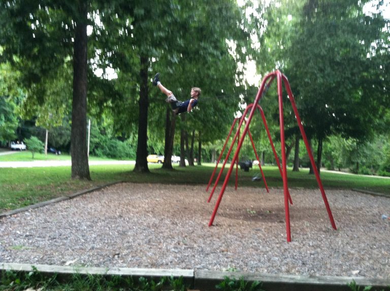
At Roaring River State Park, over 50 picnic areas and a kid’s playground is located within a short distance of the old CCC Lodge.
You can reserve two covered shelters, the River Shelter accommodating up to 75 people, and the CCC shelter up to 50 people. These have outdoor grills, picnic tables, power outlets and restrooms. Contact the Roaring River State Park at (417) 847-2539 to reserve the shelters for $50 per day. They’re great for birthday parties, reunions, office escapes, and more. You can use them for free any time you want if they are not reserved!
-
Swimming at Roaring River
Roaring River Area Swimming
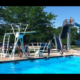
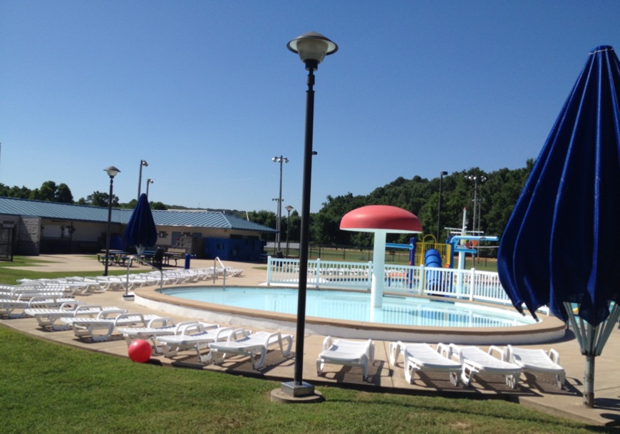
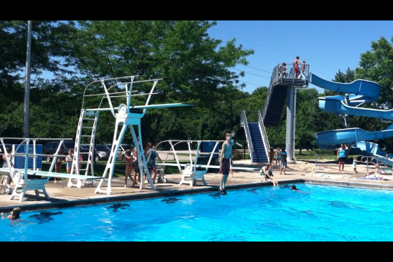
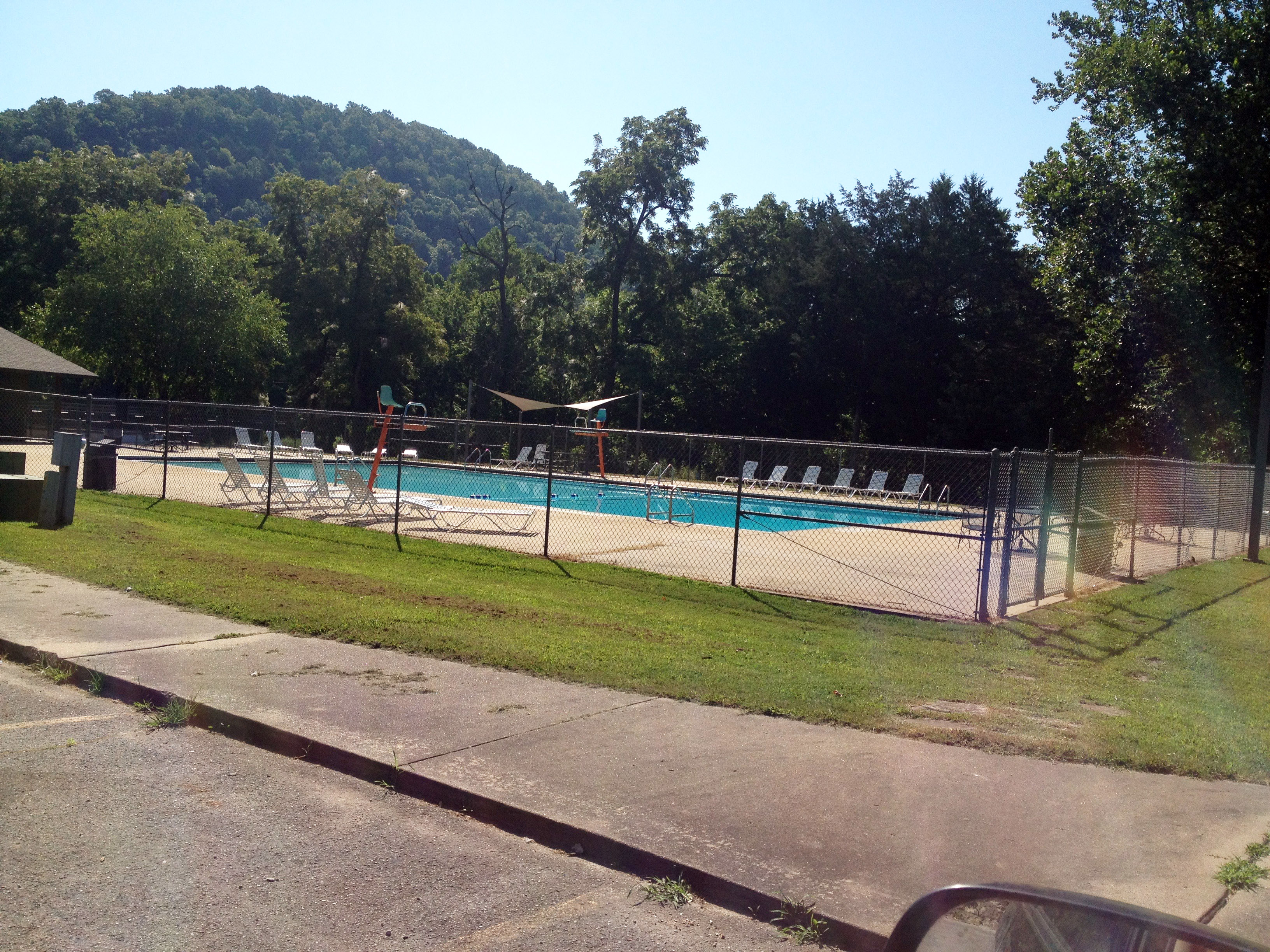
Many of the resorts, cabins, motels and campgrounds have their own swimming pools, and of course, there is wading and swimming in Zone 2 of the river, which is from the sign at the mouth of Dry Hollow Creek to the old dam in the lower campground. Just ask at the Park Store, and they will let you know. The state park also has a swimming pool open to all visitors. Call 417-847-2330 for pool information and hours. There is a fee for this pool, which is located right across from the park office.

Campground Pool Near the Park Office
The Cassville Aquatic Center is a nice place to spend the day on a hot afternoon. It’s at 501 Sale Barn Road, and has a big pool area with two water slides, a zero-entry access, diving boards, and fun. It’s open from Memorial Day to Labor Day, but call ahead for hours to make sure; 417-847-8741. As of 2016, it’s open 1pm – 6pm Sunday thru Friday, and 1pm to 8pm on Saturday. It’s open to the public for $4 a person.
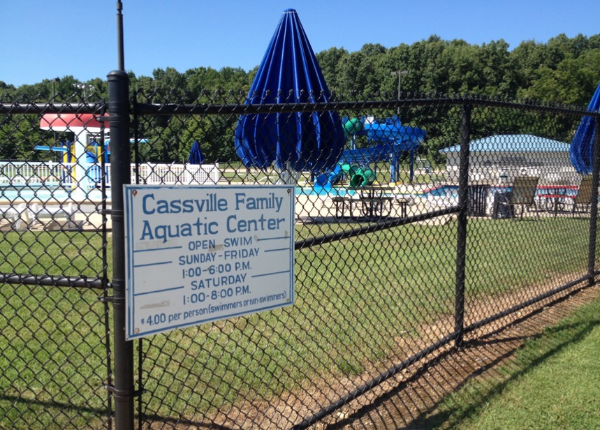
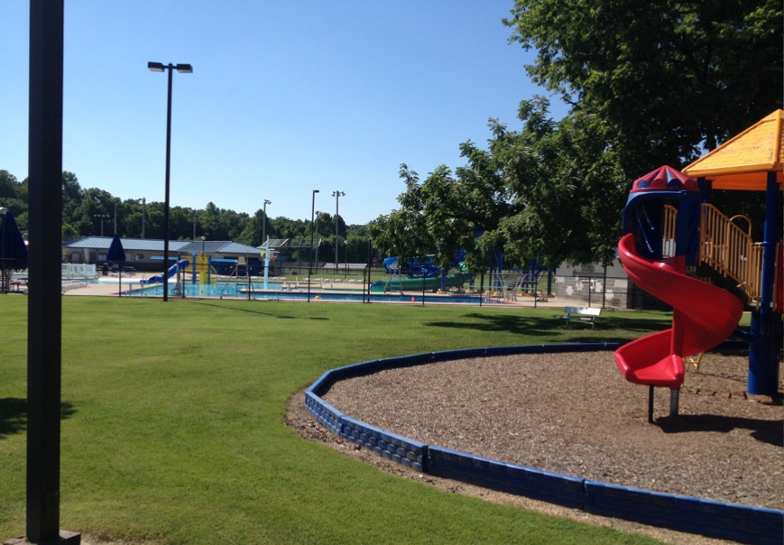
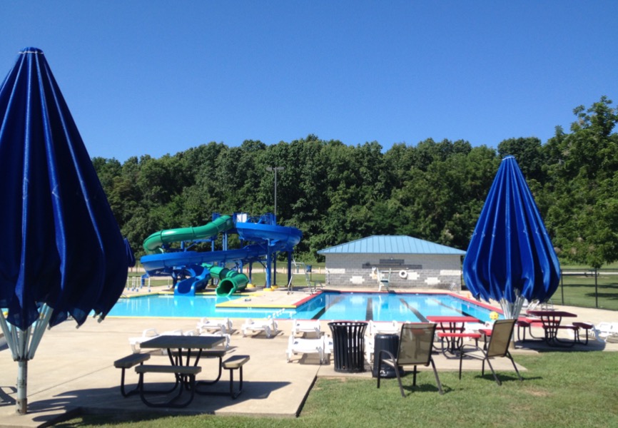
Cassville Aquatic Center
-

Golf Near Roaring River
Take a break from trout fishing and play eighteen holes at the Cassville Golf Club.
Winter Hours (October thru March – Always call ahead before coming.)
8:00am to an hour before dusk
Summer Hours (April thru September)
7:00am to 8:00pmDriving Range is closed Wednesdays until 3:00pm for mowing and ball retrieval.
Weekday Green Fees
$15 for 9 holes – $25 for 18 holesWeekend Green Fees
$17 for 9 holes – $28 for 18 holesCart Rental
$10 for 9 holes – $15 for 18 holes (per person)GROUP RATES ARE AVAILABLE
Cassville Golf Club | 20276 State Hwy 112 | Cassville, Missouri 65625
Located on Highway 112 South – approximately 4 miles south of downtown Cassville.
417-847-2399.


Featured Post
-
 Blog,Hiking
Springhouse Trail
A springhouse was a small building built over a spring, used to keep meat...
Read more » -
 Blog,Fishing
Getting Started Fishing Roaring RIver
Easy Fishing the Roaring River without a Fly Rod The Roaring River offers trout...
Read more » -
 Blog,Lodging
Lodging Near Roaring River
The Roaring River, Cassville, Missouri Ozark area offers diverse lodging and accommodations. Take a...
Read more »