
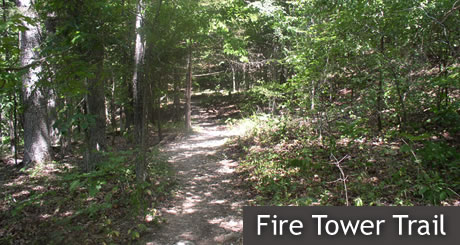
The Fire Tower Trail is the longest Roaring River State Park trail at 3.75 miles. You can get on the trail in three places: near the Nature Center (just off the highway), off of the Dear Leap trail, and at the wild area parking lot. There is also a trail head near campground 3 that you can park near, then walk to the trailhead near the wild area parking.
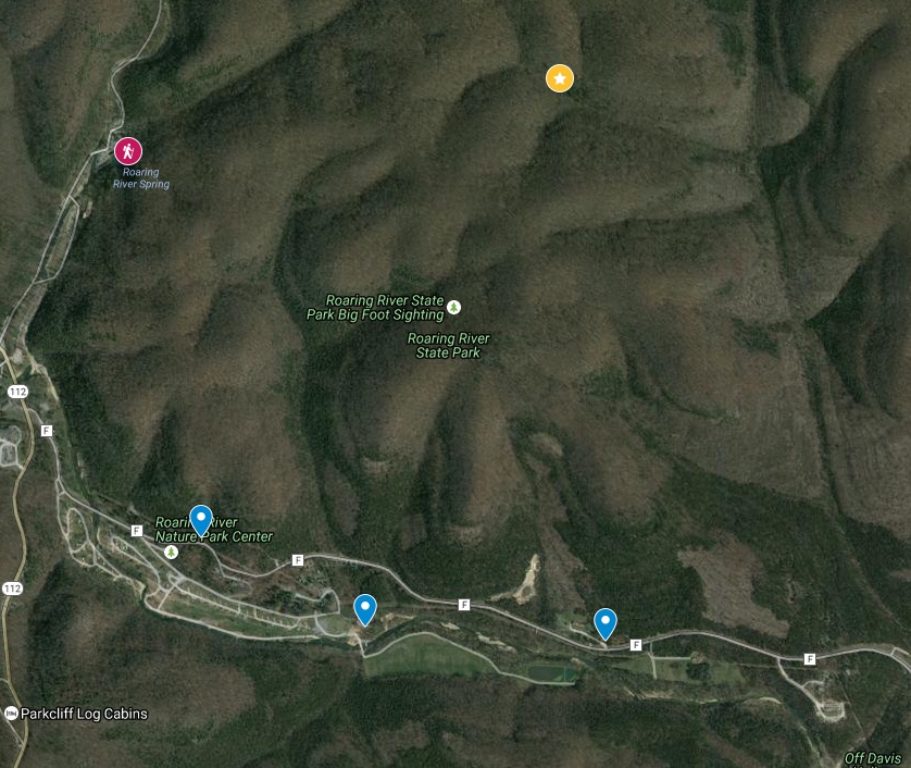
All three of the access points require you to hike UP a good ways before you get to the flatter areas on top. Check out the Roaring River State Park’s free topographic map to find which access point will be the best one for you. I’ve made a map that shows a pretty good estimate of the trail heads (marked in blue), where it connects with the Deer Leap Trail (red hiker icon), and where the Fire Tower is located (marked with star). Grab a map at the Nature Center and it will help you out along the way. The trail is blazed in brown markers. If you search for the area in Google Maps, you’ll see that someone has apparently spotted Big Foot in the area. Take that into consideration! And get some good video!
This trail is in the Wild Area, with some steep climbs and rugged terrain. As the name suggests, the old fire tower, built in the 1930s, stands on the northeast side of the trail and is worth a visit if you have the time. This trail will take a while, considering the terrain, to get around. Take loads of water and stretch your legs before you go. Missouri State Parks estimates the hiking time of 3 hours and 45 minutes if you take the loop. I’ve done the hike, and it does take time and effort. I would advise going with a friend to stay safe. You don’t want to get dehydrated up there, and the cell phone connections are spotty at best.


