
-
Eagle’s Nest Trail
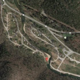
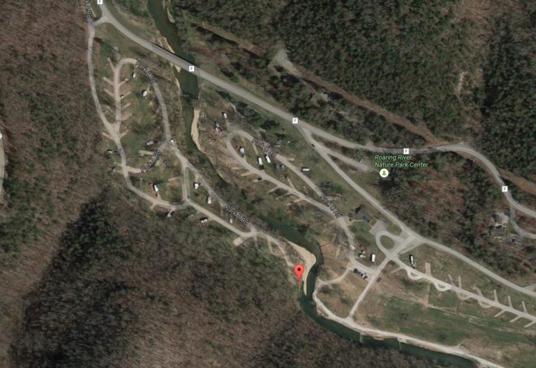
Eagle’s Nest Trail runs from campground 2, near campsite 94, runs for 2.75 miles with good climbs and scenery. The gps coordinates for the trailhead are 36.57824066, -93.83196969 if you are interested!
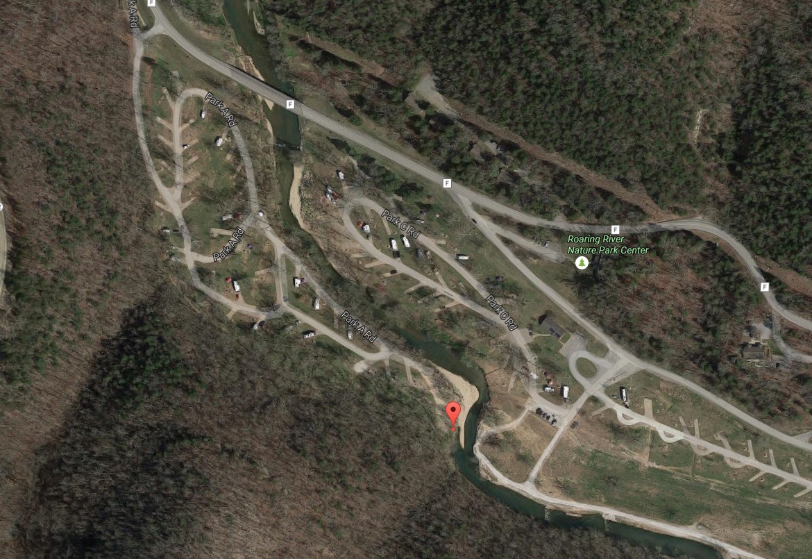
The trailhead is here at the red pin:
We haven’t hiked the trail yet, but it’s coming September 2016. According to everything we’ve read, it’s a fun hike, but it goes up to one of the highest points in the park. Thus, the Missouri State Park ranks it “Rugged,” so be prepared. They estimate it will take 2 hours and 45 minutes to hike. It’s blazed with green markers.
The trail closes at 3pm in the winter, as it appears that that’s the time of year the Eagle’s roost.
You can check out the trail map here.
-
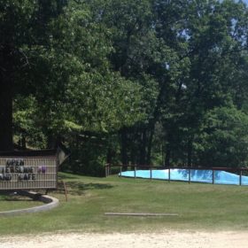
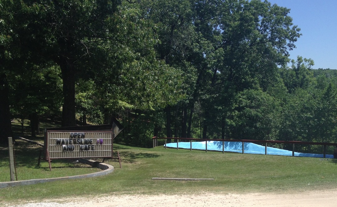
Waterslide Near Roaring River
It can get hot in the summer, but besides splashing in the river, or finding one of the nearby pools, the waterslide might give you or your kids a break from the heat.
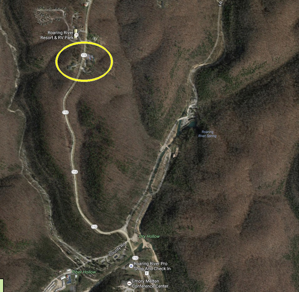
The waterslide is just up Highway 112 toward Cassville, from the state park.
It’s an older fiberglass model, and lots of fun according to the kids. They give you a mat to slide down on, so you get some protection from the surface of the slide. As of the summer of 2016, the price is $8 an hour per rider. There’s a patio on the back, so you can watch your kids go up and down the slide. And they have a cafe that serves all kinds of things, so you can relax in the shade if you aren’t riding.
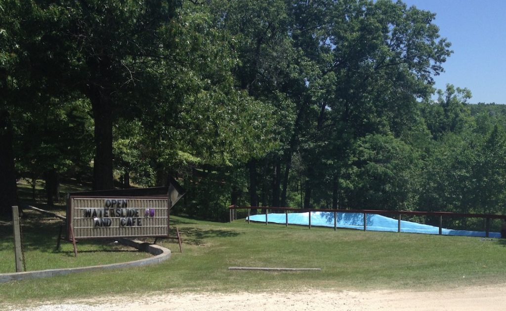
Waterslide at Roaring River
Give it a try. This video shows what it’s like to give it a whirl:
Featured Post
-
 Blog,Hiking
Springhouse Trail
A springhouse was a small building built over a spring, used to keep meat...
Read more » -
 Blog,Fishing
Getting Started Fishing Roaring RIver
Easy Fishing the Roaring River without a Fly Rod The Roaring River offers trout...
Read more » -
 Blog,Lodging
Lodging Near Roaring River
The Roaring River, Cassville, Missouri Ozark area offers diverse lodging and accommodations. Take a...
Read more »